Paraty looks the way it does because of a long run of boom and bust: an indigenous fishing coast, a Portuguese port, a gold rush, a cachaca trade, and then more than a century of being too poor to change. This is the whole story, and what you can still see of it.
People come to Paraty and assume someone planned it this way — that a town this complete, this unspoiled, must be the product of careful protection. It isn't, or at least it didn't start that way. Paraty looks the way it does because of a long run of boom and bust: a fishing coast, a gold port, a cachaça trade, and then more than a hundred years of being too poor to change a single thing. The preservation came later. The poverty came first.
We host guests on the ridge above the town, and the history is the part most people skip before they arrive and then wish they'd known once they're walking the cobbles. So here is the long version — who was here first, how the gold built the place, the uncomfortable role of slavery that paid for it, why the town was abandoned and then rediscovered, and what of all that you can still put your hand on today. None of it is academic. Almost every chapter of this story has a building, a stone, or a still you can go and stand in front of.
The coast before the Portuguese
Long before there was a town, there was a name. The word "Paraty" comes from the language of the Guaiana people, the Tupi-speaking community who lived along this stretch of coast, and it means roughly "river of fish" — for a fish that was once abundant in the local waters. That is worth holding onto, because it tells you what this place was before anyone came looking for gold: a sheltered, fish-rich coast where indigenous communities had lived for a very long time, fishing the bay and the river mouths and moving along the same shoreline that visitors now photograph from a schooner.
When the Portuguese arrived in the 1500s and began pushing along the Costa Verde, they did what colonisers usually did — they took the existing name and kept it. The settlement that grew here borrowed the indigenous word for the whole area. That continuity is easy to miss, but it's the first layer of everything: the bay was a good place to live for the same reasons it is a good place to visit, and the people who knew that first were here for centuries before the first church was built.
The indigenous presence did not simply vanish when the town arrived. It was displaced, absorbed and reduced — a hard history that the region shares with the rest of coastal Brazil — but its traces run right through the local caiçara culture that still defines the small fishing communities of the bay: the dugout canoes, the manioc, the knowledge of tides and trails. The caiçara are, in large part, the descendants of that meeting of indigenous, Portuguese and African people, and their world is the living end of the story that begins here.
A Portuguese town takes shape
The settlement grew through the 1600s as a small Portuguese coastal town, fishing and farming and shipping a little sugar. Its patron saint, Our Lady of the Remedies — Nossa Senhora dos Remédios — was adopted in the 1640s, and in 1667 the place was formally raised to the rank of a vila, a town with its own council. For a while that was the whole of it: another modest port on a long, green coast, important to the people who lived there and to almost nobody else.
What changed everything was something that happened hundreds of kilometres inland, in the mountains of what is now the state of Minas Gerais. In the 1690s, prospectors found gold there — eventually some of the richest gold strikes the world had ever seen. And when you find gold in the mountains, the first problem you have is getting it to the sea. The nearest sheltered, navigable harbour on the right side of the Serra do Mar was Paraty.
The gold cycle: Paraty becomes a port for an empire
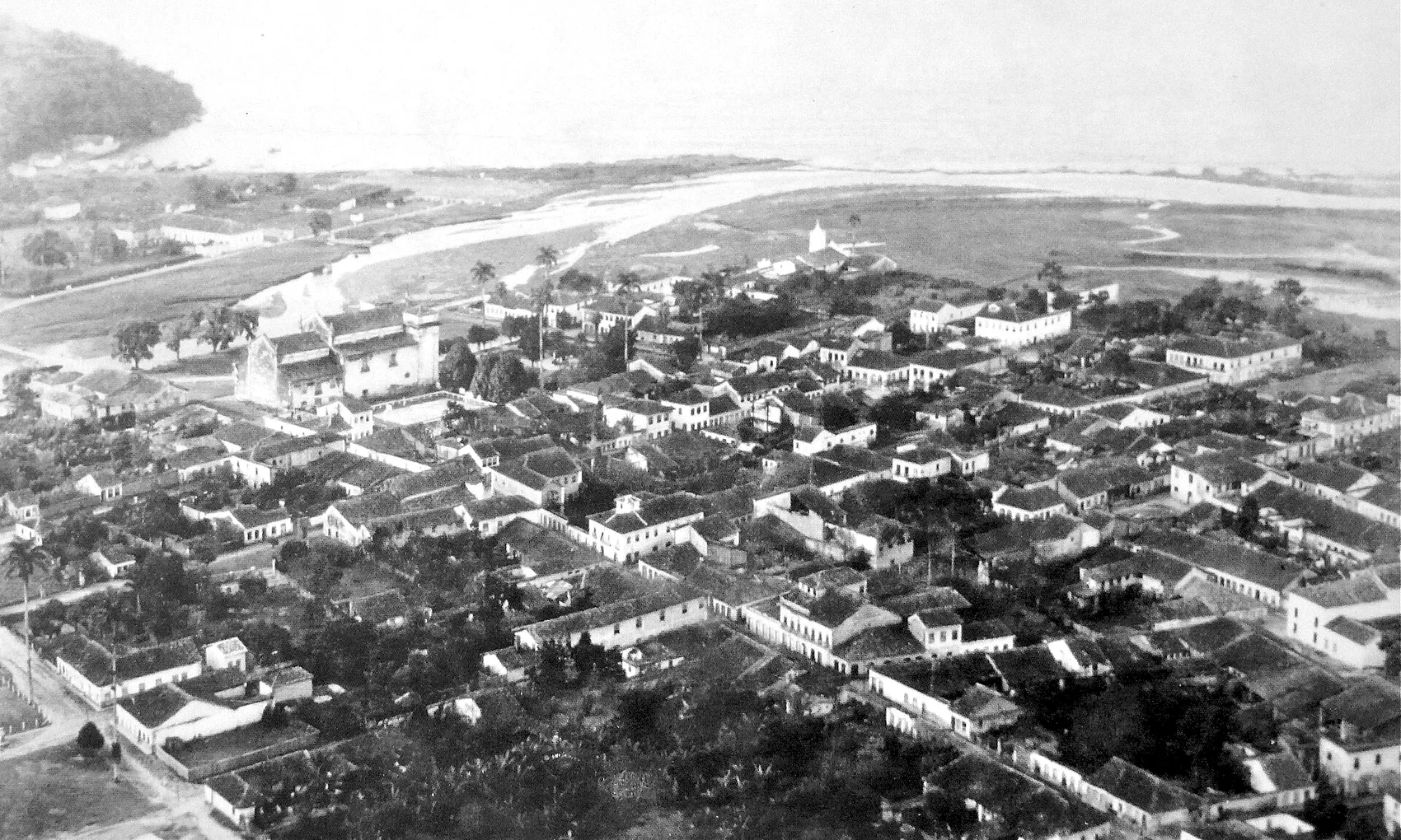
For roughly the first half of the 1700s, Paraty was one of the most important places in colonial Brazil — not for itself, but for what passed through it. This was the height of the gold cycle, the boom that pulled tens of thousands of people, Portuguese and enslaved Africans alike, up into the mining country of Minas Gerais. The gold they dug had to come back out, and a great deal of it came out through here.
The Caminho do Ouro
The road that carried it is the single most evocative survivor of the whole period: the Caminho do Ouro, the Gold Trail. It was a long mule road that climbed from Paraty's harbour up over the Serra do Mar and on toward the mining towns — Ouro Preto, Tiradentes and beyond — a route that, with its extensions, ran for well over a thousand kilometres into the interior. In the steepest sections the Portuguese paved it with large fitted stones to keep the mule trains from sliding, and it is those paved stretches, worn smooth and green with moss, that you can still walk in the forest above town today.
It is easy to romanticise a stone path in the jungle, so it's worth being plain about what moved along it. Down toward the sea came gold and, later, diamonds. Up toward the mountains went everything the mining camps needed and could not produce: tools, salt, dried goods, manufactured imports off the ships — and people. The mule trains carried enslaved Africans inland to the mines, and the same road that brought wealth to Paraty's merchants was a road of forced movement and forced labour. The Gold Trail is beautiful and it is also a monument to that. We go into the route, the surviving sections and how to walk them in the dedicated Caminho do Ouro guide.
The same paved road that made Paraty's merchants rich carried enslaved people inland to the mines. The Gold Trail is beautiful, and it is also a monument to that.
What the boom built
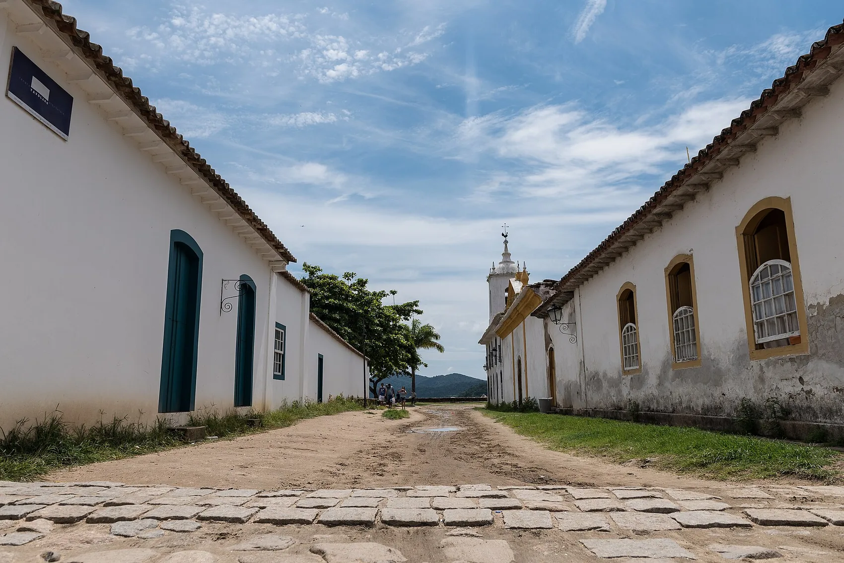
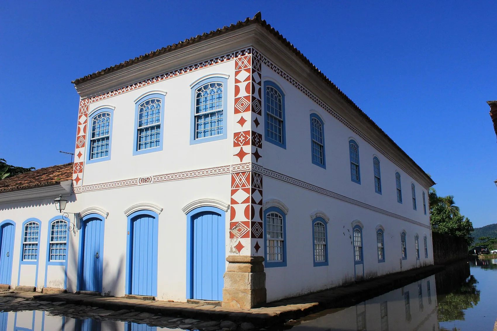
The wealth that flowed through the port stayed long enough to build a town. Merchants put up the thick-walled houses that still line the centre; the church-building brotherhoods raised the chapels; the warehouses by the water filled with goods waiting for the next ship to Rio. Most of the colonial architecture you admire today — the whitewashed walls, the heavy doors picked out in blue and ochre, the churches and townhouses — is gold-cycle money, frozen in lime and stone. The town you walk through is essentially a snapshot of an 18th-century boom port.
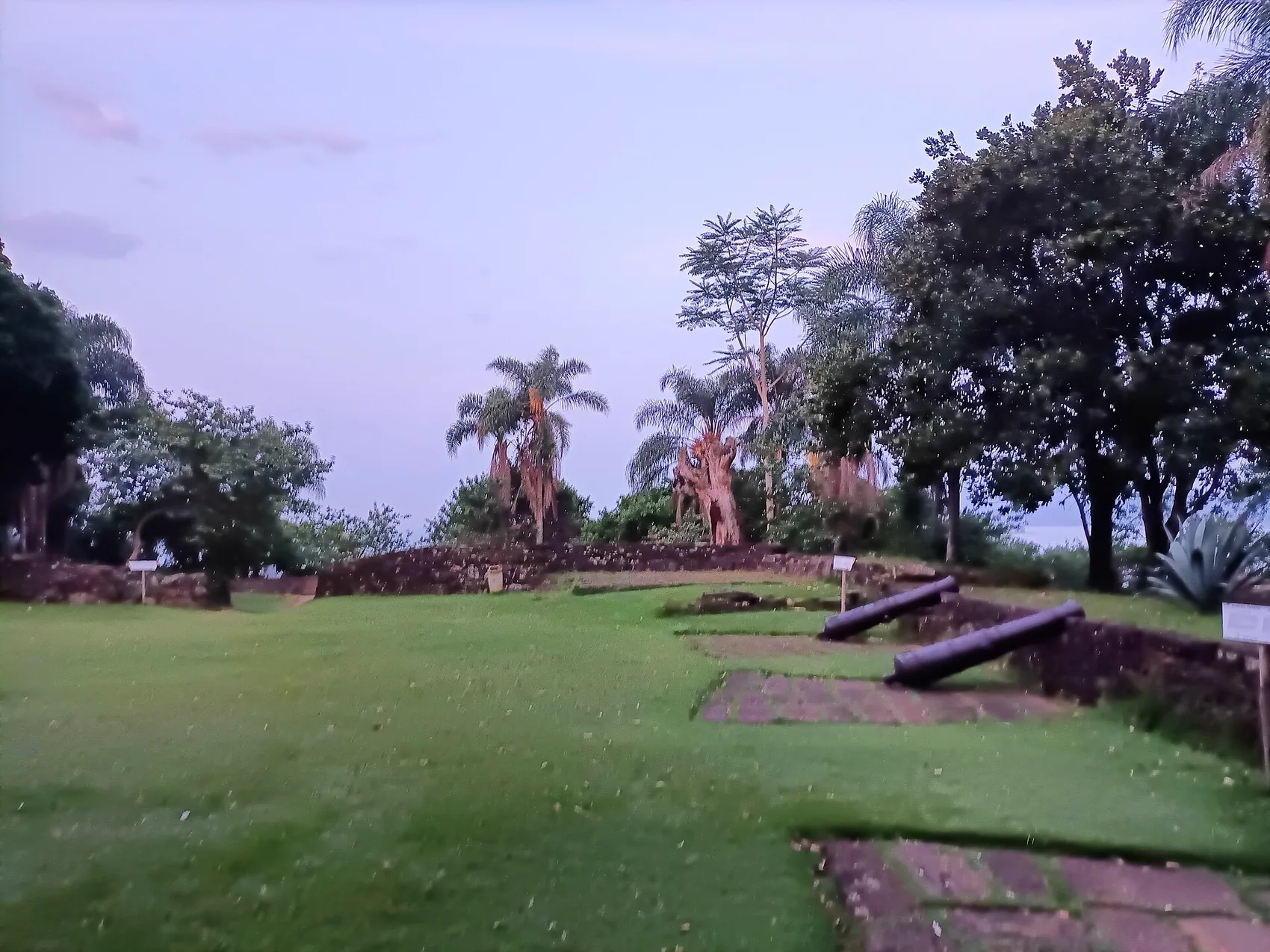
To defend all that wealth, the crown fortified the harbour. A fort was first built above the entrance to the bay early in the 1700s to guard the gold ships from raiders, and although it fell into ruin, it was rebuilt in the 1820s and named the Forte Defensor Perpétuo — the "Perpetual Defender," a title borrowed from the new emperor of independent Brazil. It still stands on its low hill at the edge of town, with a handful of old cannon and one of the best free views over the bay. Walking up to it at the end of a hot afternoon is one of the simple pleasures we always recommend.
Pirates, and the road that changed everything
Two problems eventually undid Paraty's golden run, and the first was at sea. The voyage from Paraty up to Rio de Janeiro ran past the maze of islands and coves around the Bay of Angra dos Reis — perfect cover for pirates and smugglers, who preyed on the gold ships. The maritime leg was slow and dangerous, and the crown wanted it gone.
So it built a way around. A new overland route, the Caminho Novo — the "New Road" — was pushed through from the mining country straight down to Rio de Janeiro, bypassing the coast and the sea voyage altogether. Laid out by the explorer Garcia Rodrigues Paes and developed over the first decades of the 1700s, it cut the journey time dramatically and avoided both the pirates and the steep, muddy crossing of the Serra do Mar that ended at Paraty. Once the gold could go straight to Rio by land, it did. The whole reason for Paraty's importance — that it was the unavoidable harbour between the mines and the sea — simply evaporated. It was no longer unavoidable. It was a detour.
That is the hinge of the entire story. Paraty did not decline because it did something wrong. It declined because a better road was built somewhere else, and the traffic that had made it rich moved over to it.
Sugar, stills and the cachaça trade
The gold left, but the sugarcane stayed, and for a long time it was cane and the spirit made from it — not gold — that kept Paraty alive. This is the second great thread of the town's history, and the one you can most easily still taste.
The hot, wet hills behind Paraty are good for sugarcane, and the Portuguese had been growing it and distilling it here since the early colonial days. The spirit they made is cachaça: a clear, grassy liquor distilled straight from fermented sugarcane juice, the base of the caipirinha and the oldest distilled drink in Brazil. Through the gold years and especially after them, the engenhos — the sugar mills, with their water wheels and copper stills — multiplied in the valleys around the town. By the early 1800s there were well over a hundred stills working the region.
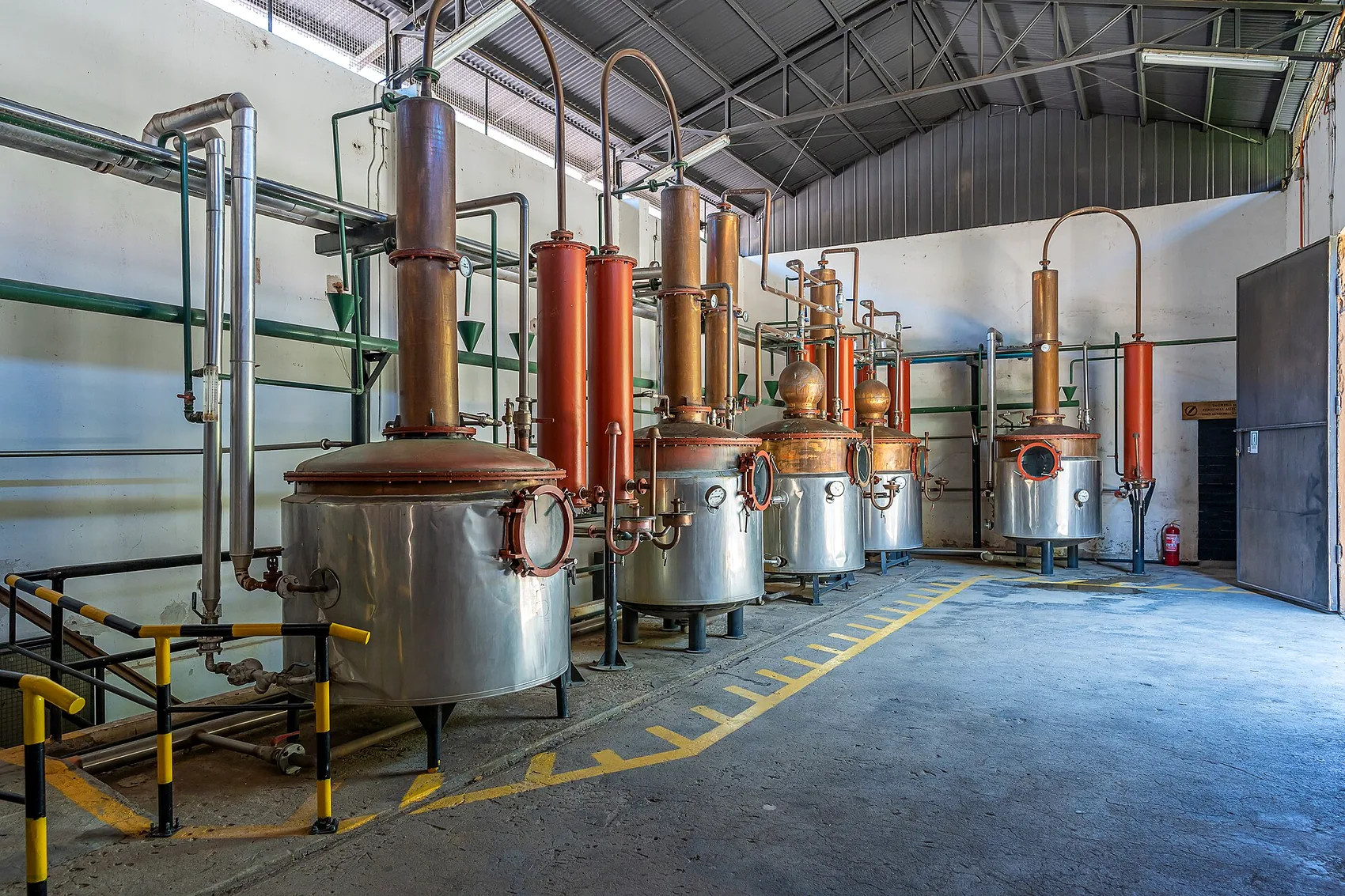
Paraty's cachaça became genuinely famous. It was shipped up and down the coast and the reputation grew until the town's name became a kind of brand: for a stretch of the 19th and into the 20th century, "parati" was used across parts of Brazil as a plain synonym for cachaça, the way "champagne" stands in for sparkling wine. That is about as strong a signal of quality as a place can leave in a language. When you sip an aged cachaça at one of the surviving artisanal distilleries today, you are tasting the direct descendant of that trade — the one industry that bridged the gold boom and the long quiet that followed. We cover the working distilleries, and how a tasting actually goes, in the wider Paraty guide.
Most of the old engenhos did not survive as working mills. Walk or drive the valleys behind town and you'll find their bones — ruined stone walls, a broken wheel, a chimney swallowed by forest — because when the economy collapsed, most simply stopped. A handful kept going, or were revived, and those are the ones you can visit. But the ruins are part of the truth of the place: this was once an industrial landscape, not just a pretty one.
The part that paid for everything
None of the wealth in this story — not the gold, not the sugar, not the fine houses or the churches — would have existed without enslaved labour. It is the uncomfortable centre of Paraty's history, and the town does not hide it.
The gold of Minas Gerais was dug overwhelmingly by enslaved Africans, many of whom passed through this coast on their way inland. The sugarcane in the valleys was planted, cut and milled by enslaved people. The cachaça was distilled by them. The same boom that built the beautiful centre was, in plain terms, built by people who were owned. Brazil was the largest single destination for the transatlantic slave trade, and it was the last country in the Western Hemisphere to abolish slavery, in 1888 — which is recent enough that the consequences are not history at all but living memory's near neighbour.
You can see this written into the town itself. The church-building brotherhoods of the colonial period were segregated, and the Igreja de Nossa Senhora do Rosário was the church of Paraty's Black population — enslaved and free. Standing in front of it, you are looking at a building raised by the very people whose labour underwrote the whole gold economy, and at their insistence on a place of their own within it. It is one of the most important buildings in town precisely because of what it represents.
The legacy is not only in the churches and the quilombos. It is in the caiçara culture of the coast, in the food, in the music you hear in the streets at night, and in the population of the region itself. The Afro-Brazilian inheritance is woven through everything that makes this coast feel like itself, and we say more about that in our piece on caiçara culture on the Costa Verde.
Coffee, then the long quiet
After the gold faded, Paraty had one more brush with a national boom, and then it fell out of Brazilian history for the better part of a century.
In the early 1800s, coffee became the great engine of the Brazilian economy, and for a while some of it moved through Paraty. Coffee grown in the Paraíba Valley, on the far side of the mountains, came down to the coast to be shipped, and the old port had a brief second wind. But it didn't last, and the reason is the same as before, only with a new machine attached. The coffee planters wanted faster, cheaper transport, and in the second half of the century the answer arrived in the form of railways. The new lines ran the coffee through the Paraíba Valley and on to the much larger port of Rio de Janeiro, overland, with no need to haul anything over the Serra do Mar to a small harbour. Paraty was bypassed a second time, now by iron rails instead of a mule road.
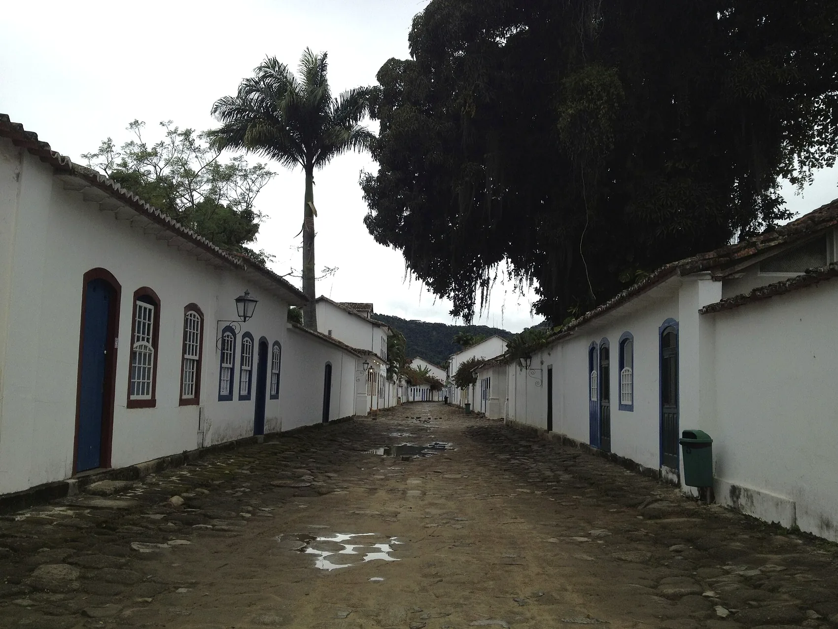
And so the town went quiet. From roughly the mid-1800s well into the 1900s, Paraty was a backwater — a small, poor fishing port, increasingly hard to reach. The mountain road over the Serra was bad, the railways went elsewhere, and for long stretches the most reliable way in and out was by boat, as it had been for the indigenous communities centuries earlier. The population shrank. Money for new building dried up entirely.
Here is the quiet miracle in the middle of the story: because nobody had any money, nobody knocked anything down. There was no boom to fund demolition, no developer to replace the old houses with new ones, no reason to rip up the punishing cobblestones and lay something flat. The town simply stayed as it was. The very forces that would have modernised a luckier place — wealth, growth, traffic — passed Paraty by, and in passing it by they preserved it. An entire Portuguese colonial port was left standing, almost intact, because it had become too marginal to be worth changing.
That long isolation also protected the forest. While the coastal lowlands of Brazil were being cleared for sugar, coffee and cattle, the steep slopes of the Serra da Bocaina behind Paraty were left mostly alone — too remote, too vertical, too far from any railhead to be worth logging at scale. That accident of geography is a large part of why so much Atlantic Forest survives here, and why the area later qualified for protection on natural as well as cultural grounds.
Rediscovery: the road comes back
The thing that brought Paraty back was, fittingly, another road. In the 1970s, Brazil pushed through the Rio–Santos coastal highway — the BR-101 — linking Rio de Janeiro down the Costa Verde toward São Paulo and running right past Paraty for the first time. Suddenly the town that had been reachable mainly by boat was a few hours' drive from two of the largest cities in South America.
What the road delivered was not coffee or gold but visitors. And by the second half of the 20th century, Brazilians and then foreigners were beginning to understand that the very thing that had made Paraty poor had made it extraordinary: a complete colonial town, unaltered, on a bay full of islands, with rainforest at its back. The national heritage authority, IPHAN, had already recognised this and listed the historic centre as protected national heritage in the late 1950s, before the road even arrived — a piece of foresight that meant the town could be reached without being wrecked. The cars were stopped at the edge of the old centre, the cobblestones left in place, and the colonial grid kept car-free, as it remains.
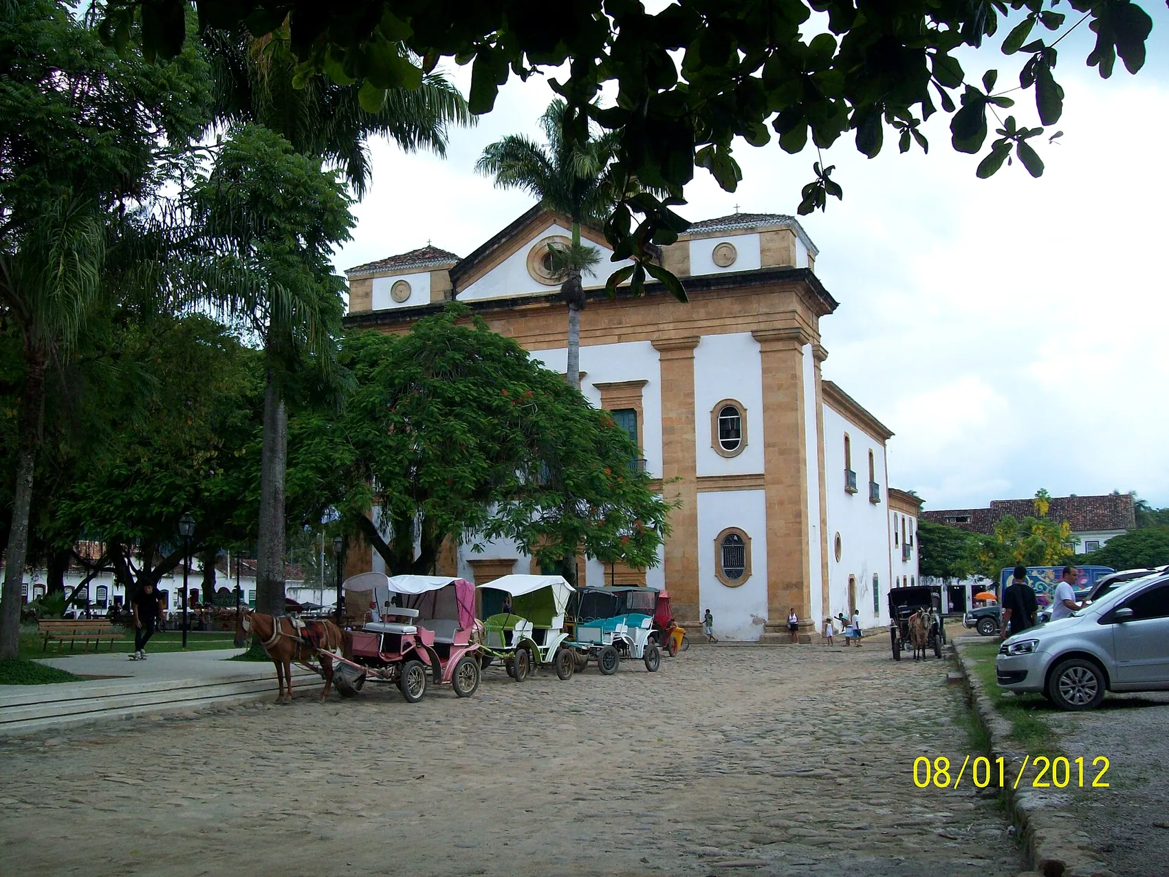
From there, the modern town built itself back up on culture and scenery rather than commodities. Pousadas opened inside the colonial houses. Restaurants put grilled fish and moqueca on the table. The artisanal cachaça distilleries found a new audience among visitors who wanted to taste the real thing. And in 2003 the town launched what became its most famous modern institution: FLIP, the Festa Literária Internacional de Paraty, an international literary festival that fills the streets with writers and readers, usually in the winter (its dates move from year to year, so always check the current edition). A 17th-century port reinvented as one of the great literary gatherings of the Portuguese-speaking world is about as neat a final chapter as a town could ask for.
UNESCO, and what the recognition means
The story reached a kind of formal summit in 2019, when UNESCO inscribed "Paraty and Ilha Grande: Culture and Biodiversity" on the World Heritage List. It was Brazil's first mixed World Heritage Site — recognised at the same time for cultural value and for natural value, a category that very few places in the world hold.
That dual recognition is the whole history in a single label. The cultural half is the town: the colonial centre, the Gold Trail, the churches, the surviving testimony of the gold, sugar and slave economies. The natural half is everything around it: the Atlantic Forest of the Serra da Bocaina, the bay and its islands, the marine life, all of it preserved by the same isolation that preserved the town. UNESCO essentially confirmed what this guide has been arguing — that in Paraty you cannot separate the human story from the landscape, because the landscape is why the human story happened and the isolation of the landscape is why so much of it survives.
Walking the history today
The best part of all this is how little of it is gone. Most chapters of the story have a physical survivor you can go and stand in front of, and if you string them together you have a ready-made way to spend a couple of days. Here, roughly in the order the history unfolds, is what to look for:
- The bay and the river mouths — the indigenous coast. The same fish-rich, sheltered water that gave Paraty its name. Best seen from the water on a boat day.
- The Caminho do Ouro — the gold cycle. Surviving paved sections of the Gold Trail climb into the forest behind town; you can walk a stretch with a guide. The full route is in our Gold Trail guide.
- The colonial centre — boom-town wealth. The whitewashed houses, the cobbles, the warehouses by the water. The architecture is covered in detail in our piece on colonial architecture and churches.
- The Forte Defensor Perpétuo — defending the gold. A short walk to the fort, its cannon, and the view.
- The Igreja de Nossa Senhora do Rosário — the church of the enslaved and free Black community, and the most direct testimony in town to who actually built the wealth.
- The engenhos and stills — the cachaça trade. Working distilleries to taste at, and ruined ones in the valleys to remind you it was once an industry.
- The Quilombo do Campinho da Independência — the living legacy of slavery and resistance, reached just outside town.
You do not need a tour to feel the layers. Simply walking the centre slowly, looking up at the dates and the church facades and then out at the boats, gives you most of it. But a good local guide — especially for the Gold Trail and the quilombo — turns a pretty walk into the real story, and we're always happy to help guests arrange one through us. Our other guides and resources fill in the practical side, from when to come to how to get on the water.
Why the history is worth carrying with you
It would be easy to enjoy Paraty as scenery and leave it at that. The town is photogenic enough that plenty of people do. But the history is what turns a nice colonial backdrop into a place that means something, and it does it cheaply — all it costs you is paying attention.
Once you know the arc, the cobblestones stop being merely charming and become evidence: the town is this perfect because it got this poor. The pretty churches become monuments to a gold economy that ran on enslaved labour. The cachaça in your glass becomes the one industry that outlasted the boom. The forest on the ridge becomes the thing that the isolation protected, and the reason UNESCO counted the nature alongside the culture. Even the road you drove in on is the latest in a three-hundred-year argument about roads — the new road that killed the port in the 1700s, the railways that bypassed it in the 1800s, and the highway that brought it back in the 1970s.
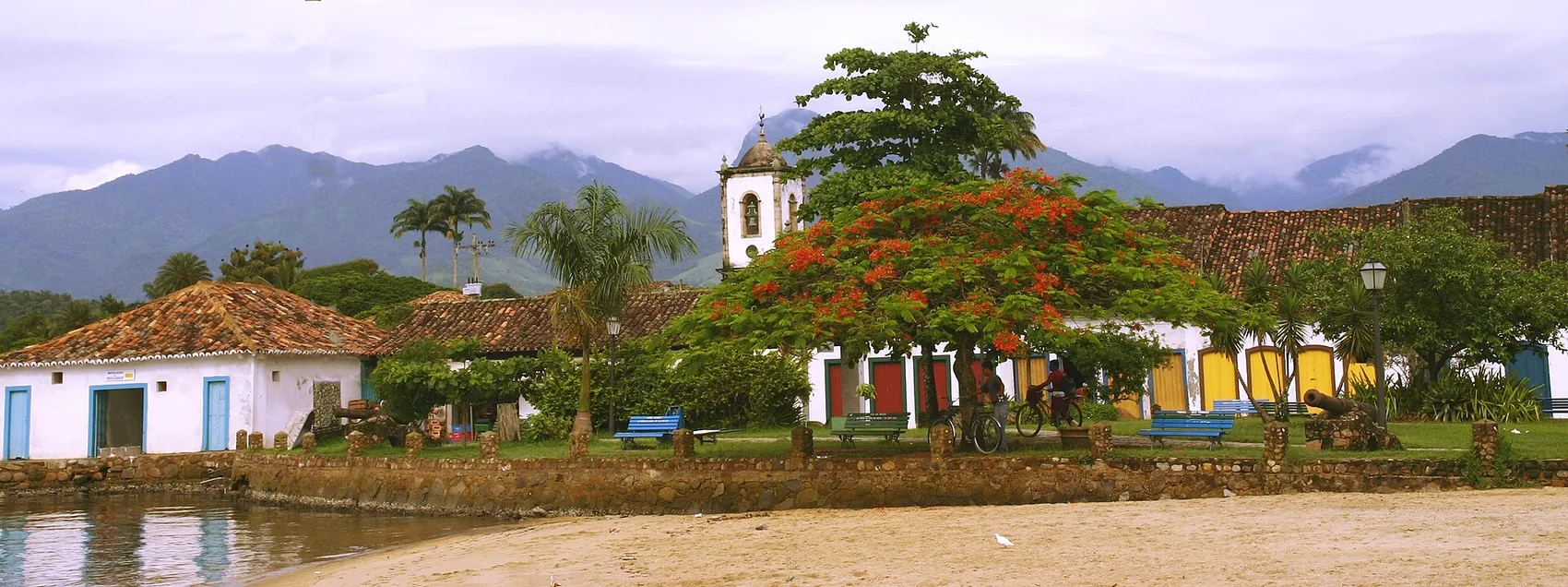
From the ridge where we host, you can take in nearly all of it in one look: the bay the Guaiana fished, the harbour the gold ships left from, the forest the isolation saved, and the small grid of white houses that survived because the world, for a long time, simply forgot it was there. That view is the whole history at once. When you're ready to turn it into a trip, the complete guide to Paraty is the place to go next, and we're a short message away whenever you want a hand shaping the days.
Come stay above the bay
Chalé Bel Air sits on the ridge that looks over everything in this guide. Tell us your dates and what kind of trip you are after — we answer personally.
Ask about your datesFrequently asked questions
How old is Paraty?
The coast was inhabited for centuries before the Portuguese arrived, by the Guaiana people who gave the place its name. The settlement that became the town was established in the 1600s, and it was formally raised to the status of a vila (town) in 1667. Most of the colonial buildings you see today date from the 1700s gold-rush century.
Why was Paraty so important?
For much of the 1700s it was the main seaport for the gold of Minas Gerais. The metal came down out of the mountains on a paved mule road, the Caminho do Ouro, to Paraty's harbour, and from there it sailed to Rio and on to Lisbon. The town grew rich, built its churches, and filled its warehouses on the back of that trade.
Why is Paraty so well preserved?
Partly by bad luck. When a shorter, safer mountain road let the gold reach Rio without the sea voyage, Paraty was bypassed, and the later coffee and railway booms ran through other towns. The port slid into a long poverty, too marginal to modernise and too poor to knock anything down, so an entire 18th-century town simply survived intact until tourism rediscovered it.
What is the connection between Paraty and cachaca?
Before and after the gold, Paraty was a sugar-and-spirit town. By the early 1800s well over a hundred stills were working in the hills around it, and the cachaca was so well known that for a time the word "parati" was simply used to mean the spirit across Brazil. The artisanal distilleries you can still visit are the direct descendants of that trade.
Is Paraty a UNESCO World Heritage Site?
Yes. In 2019 Paraty and the neighbouring island of Ilha Grande were jointly inscribed as "Paraty and Ilha Grande: Culture and Biodiversity" - Brazil's first mixed UNESCO World Heritage Site, recognised at the same time for its colonial culture and its rainforest and marine nature. The historic centre had already been protected as national heritage by IPHAN since the late 1950s.


.jpg)