The mountains behind Paraty are laced with trails — some cut by gold miners three centuries ago, some worn in by fishing communities that still have no road. These are the four we send guests to, in rough order of effort.
Praia do Sono from Laranjeiras
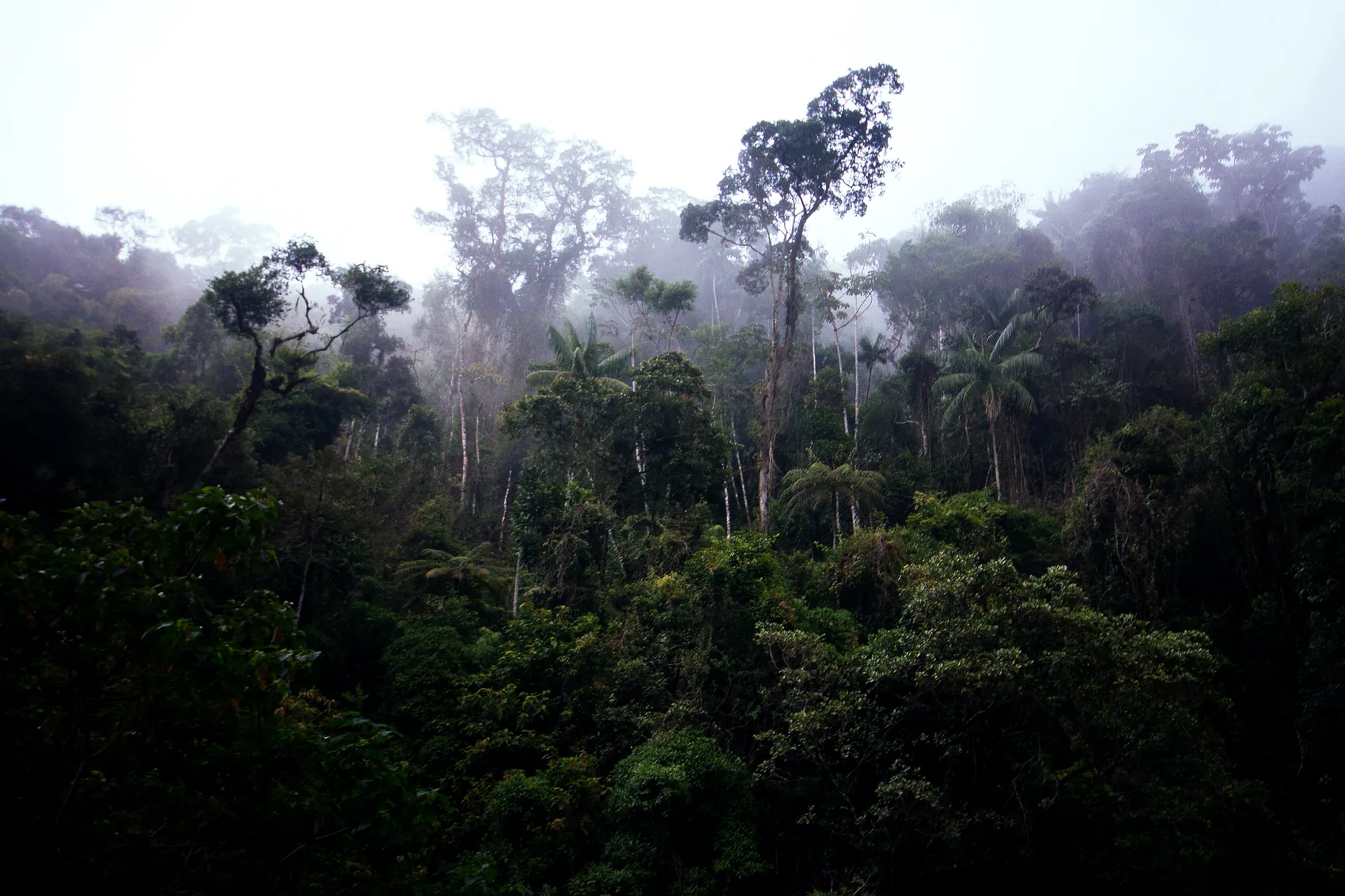
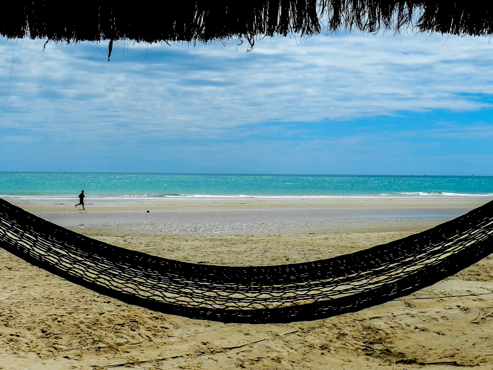
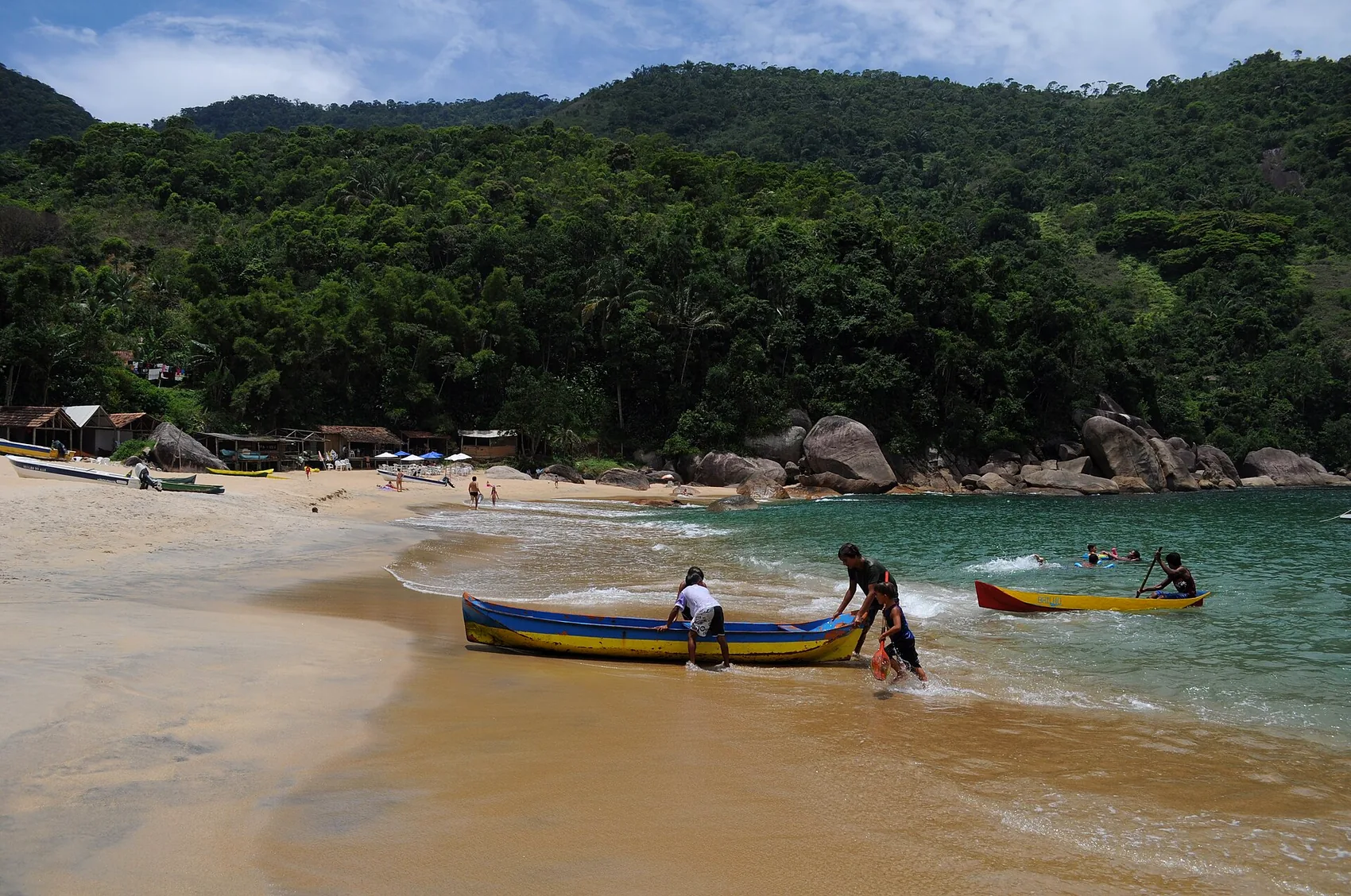
The signature hike. Drive or taxi twenty-five minutes south to the Laranjeiras condominium gate, where the marked trail starts, and walk roughly an hour and a half through proper rainforest — root staircases, stream crossings, bursts of sea view — until the path drops onto Praia do Sono: a long roadless beach with a caiçara fishing village behind it, simple beach restaurants, and water that goes from rough to glassy with the wind. It's the cheapest perfect day on this coast.
Push one headland further (another 30–40 minutes) and you reach Praia dos Antigos, wilder and usually near-empty. Going back, you can skip the climb entirely: boat-taxis run from Sono's beach back to Laranjeiras when the sea allows. Wear real shoes — the trail eats flip-flops — and start early; afternoon heat under the canopy is no joke.
The Gold Trail (Caminho do Ouro)
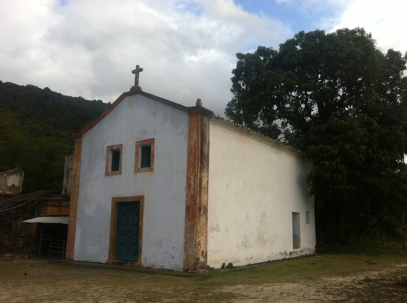
In the 1700s Paraty was the port where Minas Gerais gold met the sea, hauled down the mountains on a stone-paved mule road. Sections of that road — the Caminho do Ouro — survive in the forest above town along the Cunha road, and walking the polished, fern-edged stones is the closest thing this coast has to time travel. Parts run through managed sections with guided visits; the walking is moderate, more history than workout, and pairs naturally with the waterfalls and cachaça distilleries on the same road. Good rain-plan-B too — the forest canopy takes the edge off a drizzle, though the stones get slick.
The Mamanguá sugarloaf (Pico do Mamanguá)
Call this one the view all the others are measured against. The Saco do Mamanguá is an 8 km fjord-like ria of still water between forested walls, and at its head rises a bare granite cone of about 420 m. Getting there is half the trip: boat-taxi from Paraty-Mirim into the ria, then a steep, honest 1.5–2 hour climb — the last stretch on open rock. From the top the ria, the bay, the islands and (on clear days) Ilha Grande arrange themselves below you like the satellite map come alive. Take two litres of water per person, go early, and skip it after heavy rain.
The Juatinga peninsula
For the committed: the wild peninsula south of Sono is a protected reserve (Reserva Ecológica da Juatinga) crossed by multi-hour trails linking roadless beaches and caiçara communities — Ponta Negra, Cairuçu das Pedras, the Juatinga lighthouse. People hike it over two or three days, sleeping in village campsites or simple rooms locals rent. It needs planning, tide awareness and ideally a local guide, but it is the most remote coastline you can reach on foot in Rio state. If that's your appetite, write to us — we'll point you to current conditions.
Ground rules for all of them
- Start early; storms build in summer afternoons.
- Carry water and take your rubbish out — every one of these trails is inside a protected area (why that matters).
- Tell someone your plan; phone signal dies fast behind the ridgelines.
- Pack list, including footwear that survives mud: what to pack.
Come stay above the bay
Chalé Bel Air sits on the ridge that looks over everything in this guide. Tell us your dates and what kind of trip you are after — we answer personally.
Ask about your datesFrequently asked questions
What is the best hike near Paraty?
The signature hike is the trail to Praia do Sono from Laranjeiras — about an hour and a half through proper rainforest to a long roadless beach with a caiçara fishing village behind it. For the best viewpoint on the coast, the steep Mamanguá sugarloaf climb is the one all the others are measured against.
How hard is the Mamanguá sugarloaf (Pico do Mamanguá) climb?
It's a steep, honest 1.5–2 hour climb of about 420 m, with the last stretch on open rock, reached first by boat-taxi from Paraty-Mirim into the ria. Take two litres of water per person, go early, and skip it after heavy rain.
Can I walk the colonial Gold Trail above Paraty?
Yes. Sections of the stone-paved Caminho do Ouro survive in the forest above town along the Cunha road. The walking is moderate — more history than workout — and pairs naturally with the waterfalls and cachaça distilleries on the same road. It also makes a good rainy-day plan, though the stones get slick.
What should I bring on Paraty trails?
Real shoes that survive mud (the Sono trail eats flip-flops), water, and an early start before the afternoon storms build. Tell someone your plan — phone signal dies fast behind the ridgelines — and carry your rubbish out, since every trail here runs inside a protected area.